
BIM in Safety-Critical Facilities: Efficiency and Data Sovereignty as the Keys to Success, for Example in Defense Construction
by Charlotte Remme | 01. August 2026
The turning point in security policy presents the German defense construction sector with a monumental historical challenge: Billions in investments from the special fund must be channeled as quickly as possible into modern barracks, depots, and security infrastructure. However, the reality on the ground often slows down this momentum, as outdated paper plans, unclear environmental liabilities, and complex security requirements cause massive delays in planning. This is precisely where digitalization fills a critical gap. Digital methods such as Building Information Management (BIM) provide the urgently needed transparency and structure. They transform analog defense construction into efficient, future-proof, and data-sovereign large-scale projects.
The Unique Role and Importance of Defense Construction
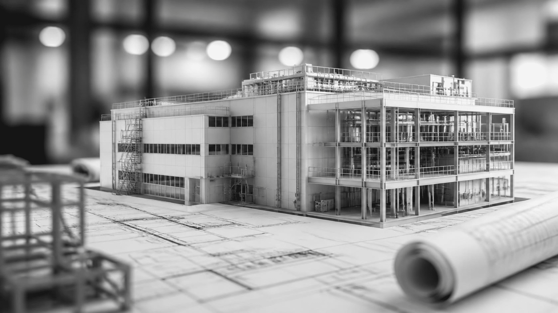
Security-critical facilities are not ordinary real estate: They must withstand extreme stresses, meet highly sensitive structural protection criteria (SIRA), and operate autonomously in an emergency. The reason this issue is so politically explosive right now is the unprecedented pressure to invest: Record sums have been budgeted for the maintenance of barracks and facilities. The defense budget is growing massively, supported by the extensive resources of the special fund and the new borrowing limits of the national infrastructure fund.
However, the reality at these properties—many of which are decades old—is slowing down the digital transformation. For example, an estimated 70% of the approximately 380 active Bundeswehr sites lack up-to-date or usable as-built plans. Planners are thus faced with the challenge of coordinating highly complex renovations based on incomplete data, which leads to enormous cost increases without digital methods. These information gaps in building construction are compounded by unforeseeable civil engineering risks: missing or purely analog documentation regarding contaminated soil or unexploded ordnance regularly leads to construction halts and unclear renovation costs.
Although the Federal Ministry of Defense (BMVg) is now an official partner of the BIM Deutschland initiative and the Construction Guidelines (BFR BIM) have provided the binding framework for years, actual implementation has stalled. Many projects are stuck in a transitional phase. While agencies such as the BAIUDBw and the BImA define BIM requirements, there is often a lack of standardized, tender-ready processes. The widespread use of the BIM method remains the exception for safety-critical structures.
Challenges in Defense Construction
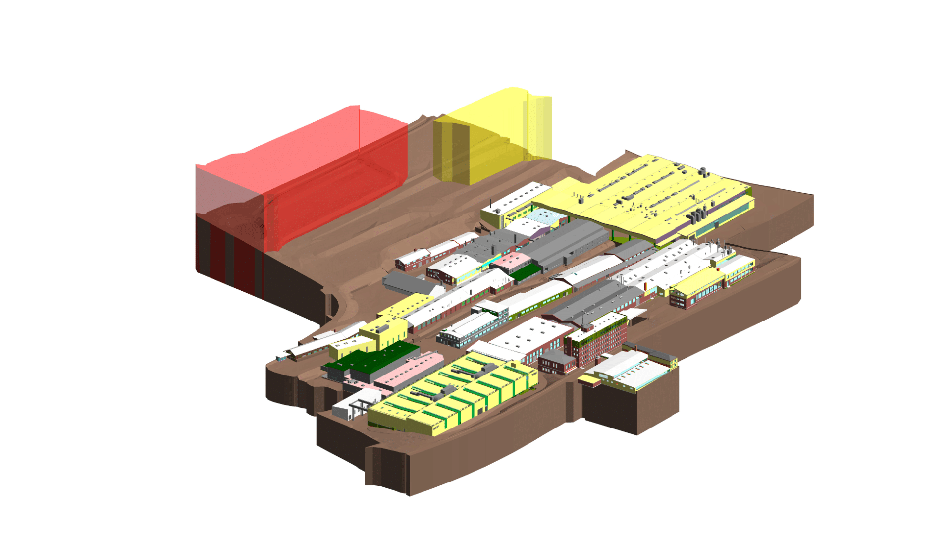
The biggest hurdle in modernizing safety-critical properties lies in the combination of incomplete documentation and highly complex permitting processes. Because reliable plans do not exist for a large portion of the decades-old building stock, planners and authorities must painstakingly and time-consumingly reconstruct every step manually. The process also requires an immense amount of coordination, as federal regulations, state-specific building authorities, and the strict SIRA security requirements must all be managed simultaneously. Without a consistent digital foundation, those involved find themselves in a logistical dead end where planning errors are inevitable.
If conventional planning methods are maintained in this highly sensitive environment, serious risks and construction halts threaten as the project progresses
- Without precise as-built documentation—for example, using Scan2BIM—unforeseen structural obstacles in existing buildings lead to major planning errors and cost overruns.
- The lack of a digital link between contaminated sites and unexploded ordnance regularly causes sudden construction stoppages.
- Without software-supported collision detection, physical conflicts arise on the construction site between highly sensitive building systems and shielded EMC/TEMPEST areas.
- If protection classes (such as access control or ballistic protection) are not directly located within the model, there is a risk of late, extremely costly corrective measures during construction.
- Without a security-compliant data platform, the use of commercial clouds poses a massive security risk to sensitive data.
- If there is no structured handover of facility management data to operators, this data gap leads to increased maintenance costs and unplanned outages of critical infrastructure.
Scan2BIM: Using Laser Scanning for Precise As-Built Documentation
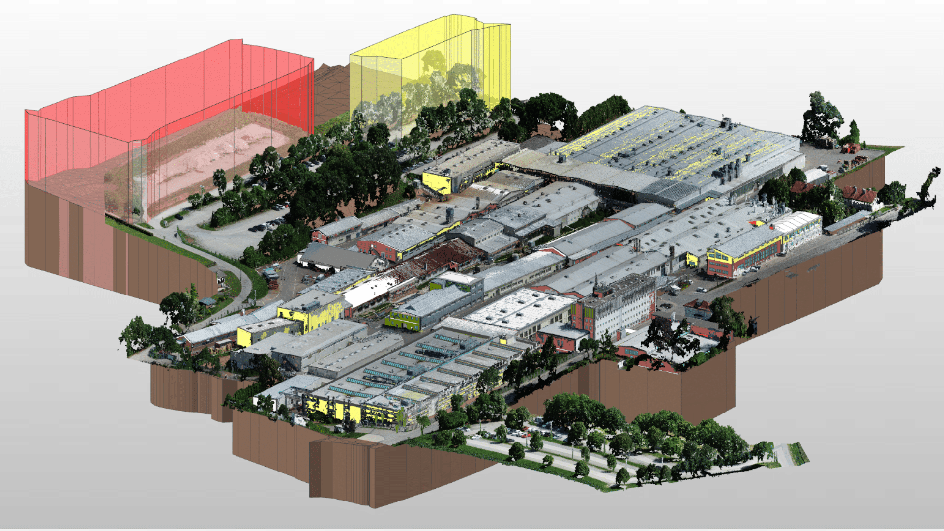
Since the majority of security-critical properties in Germany lack up-to-date or reliable as-built documentation, modern 3D laser scanning provides the indispensable foundation for any modernization project. In the Scan2BIM process, the actual existing structure—such as barracks or depots—is captured in its entirety within a few days using high-precision laser scanners, with millimeter-level accuracy, in the form of a point cloud. This digital scan data is then used as a reference to create a digital information model that combines geometric structure and alphanumeric data. The BIM2Scan process results in:
- Significant time savings: Data capture and model conversion are completed within a few weeks instead of months.
- Valid geometric data: Prevention of delays and risks of cost overruns in the procurement process.
- Minimization of design errors: The error-free digital data foundation eliminates the risk of designing based on incorrect or outdated dimensions.
Instead of spending months searching for outdated paper plans or risking inaccurate manual measurements, project participants thus have an error-free, digital design foundation available within a very short time.
Hazard Mapping: Digitally Linking Contaminated Sites and Unexploded Ordnance
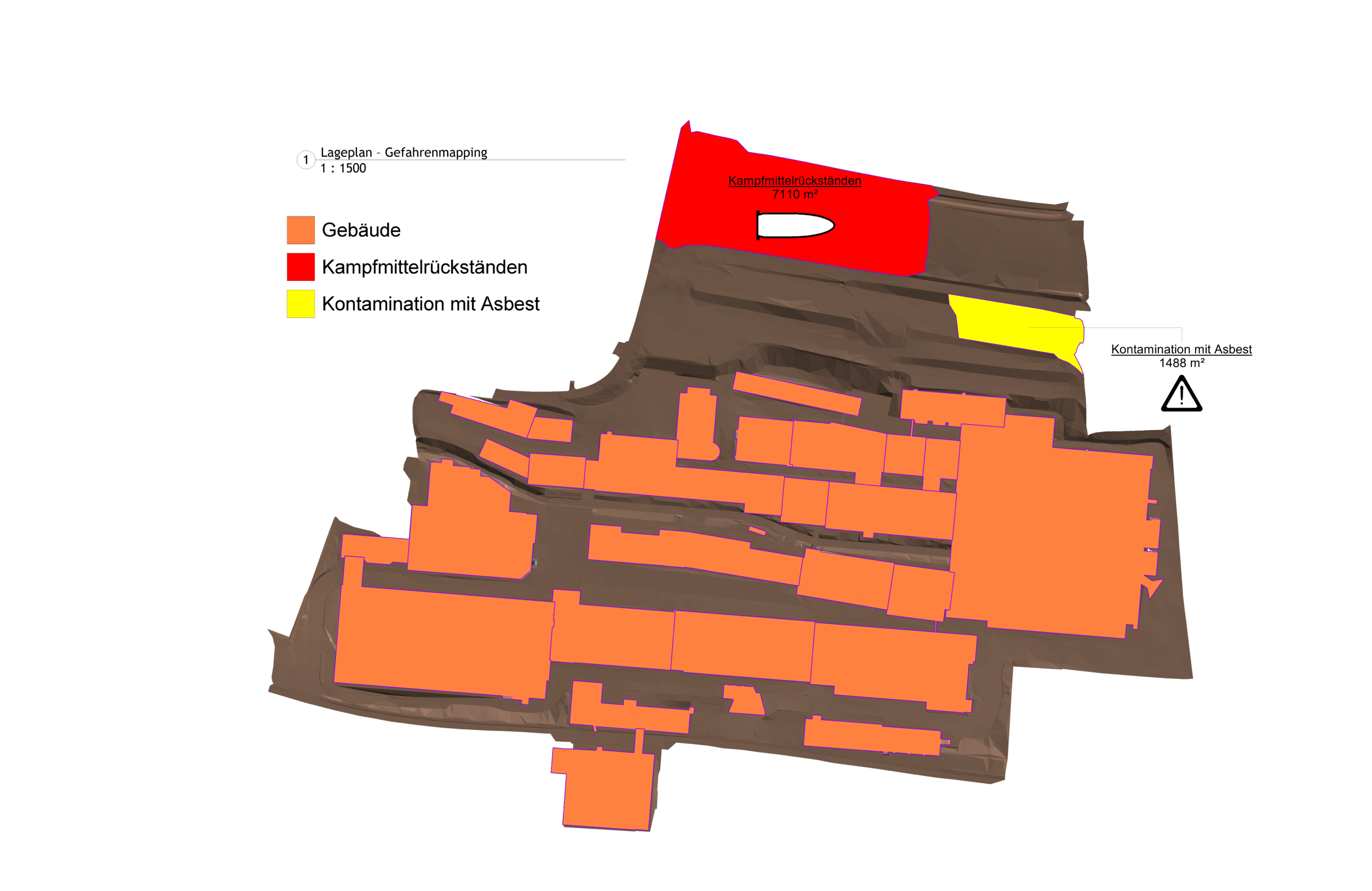
Safety-critical facilities often harbor unforeseeable underground risks, such as unexploded ordnance, fuel contamination, or asbestos in older buildings. In conventional construction, these unclear contamination issues regularly lead to sudden construction halts, skyrocketing remediation costs, and legal liability risks, as information is often available only in analog form or is incomplete. The BIM method solves this problem through intelligent 3D hazard mapping: Here, contamination and hazard zones are directly linked to the digital building model as visual exclusion zones and risk attributes. This allows planners and contractors to see exactly what hazards lurk in the ground or within the building structure even before the first shovel hits the ground. This intelligent integration delivers measurable benefits in practice:
- By visualizing explosive ordnance and hazard zones in the model at an early stage, earthwork and remediation can be scheduled proactively.
- Remediation and disposal costs can be calculated precisely.
- Comprehensive digital documentation of contaminated sites protects clients and planners from legal liability risks.
- The visual and data-driven presentation accelerates approvals by the relevant environmental and safety authorities.
“Project experience shows that the use of digital hazard mapping permanently eliminates liability risks for building owners and prevents costly construction stoppages from the very beginning.”
Charlotte Remme
Coordination of Building Services Interfaces in Accordance with EMC and TEMPEST Requirements
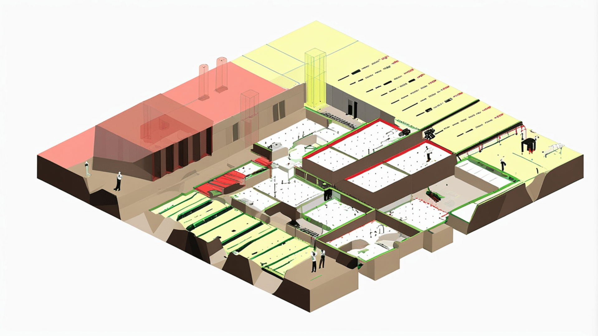
Furthermore, in defense construction, the coordination of building services systems presents an extremely high level of complexity, as cable networks can serve as physical vulnerabilities for espionage. Using the BIM method, all TGA systems are coordinated to ensure full compliance with strict guidelines on electromagnetic compatibility (EMC) and radiation protection (TEMPEST). In the digital model, sensitive information networks are visually distinguished from standard networks by color and spatially separated. Automated verification routines (model checking) continuously monitor the required minimum clearances and the shielding of cable routes. Critical signal interference or physical penetration of protective sheaths is thus detected and resolved in the virtual model before it leads to security risks on the construction site.
- Millimeter-precise coordination of all trades within the often severely limited space of protected or underground structures.
- Early elimination of electromagnetic interactions with highly sensitive military radio or radar technology.
- Reliable compliance with TEMPEST requirements through automated distance checks of sensitive networks within the BIM model.
The BIM method is indispensable in this context, as it flawlessly synchronizes the highly complex MEP planning with the defense sector’s uncompromising security requirements and ensures maximum security.
Safety Zone Management: Model-Based Control of Protected Areas
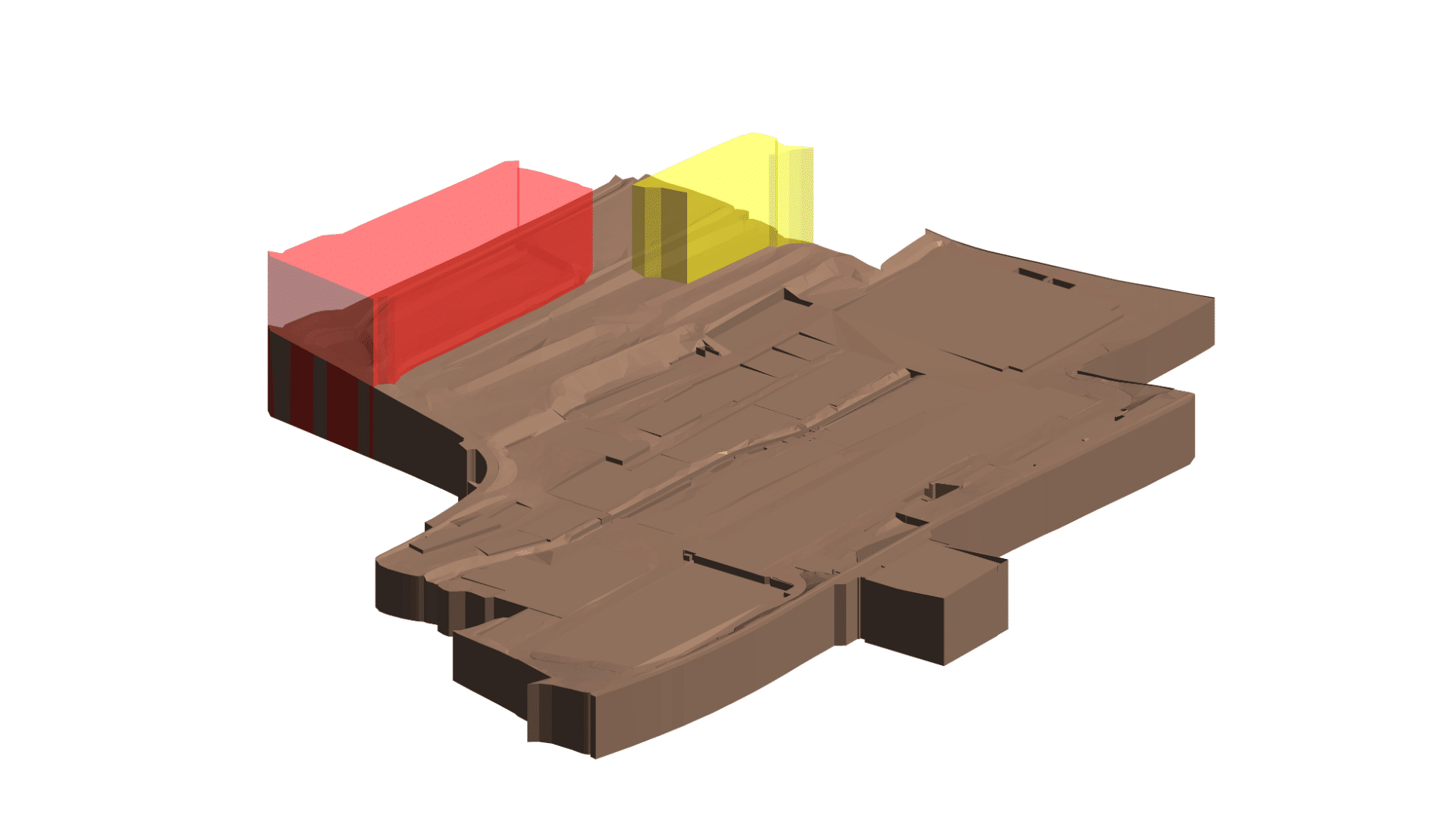
Bei sicherheitskritischen Anlagen ist die präzise Definition und strikte Einhaltung von Sicherheitsbereichen (z. B. Sabotageschutz-, Geheimschutz- oder Sperrzonen) über den gesamten Lebenszyklus hinweg elementar. Mit BIM werden die verschiedenen Sicherheitszonen direkt im digitalen Modell räumlich verortet und mit den entsprechenden Schutzklassen sowie Zugangsvoraussetzungen verknüpft. Das System ermöglicht es, bauliche und technische Sicherheitsmaßnahmen – wie biometrische Zutrittskontrollen, Schleusensysteme oder spezifische Wand- und Türkonstruktionen – automatisiert mit den Anforderungen der jeweiligen Zone abzugleichen. Durch diese visuelle und datenbasierte Verknüpfung im BIM-Modell lassen sich Sicherheitskonzepte bereits in der Planung fehlerfrei simulieren, behördliche Abnahmen beschleunigen und im späteren Betrieb lückenlos überwachen.
“BIM makes safety concepts verifiable and audit-proof from the very first draft.”
Charlotte Remme
Digital Approval Processes: Secure Data Management in Defense Construction
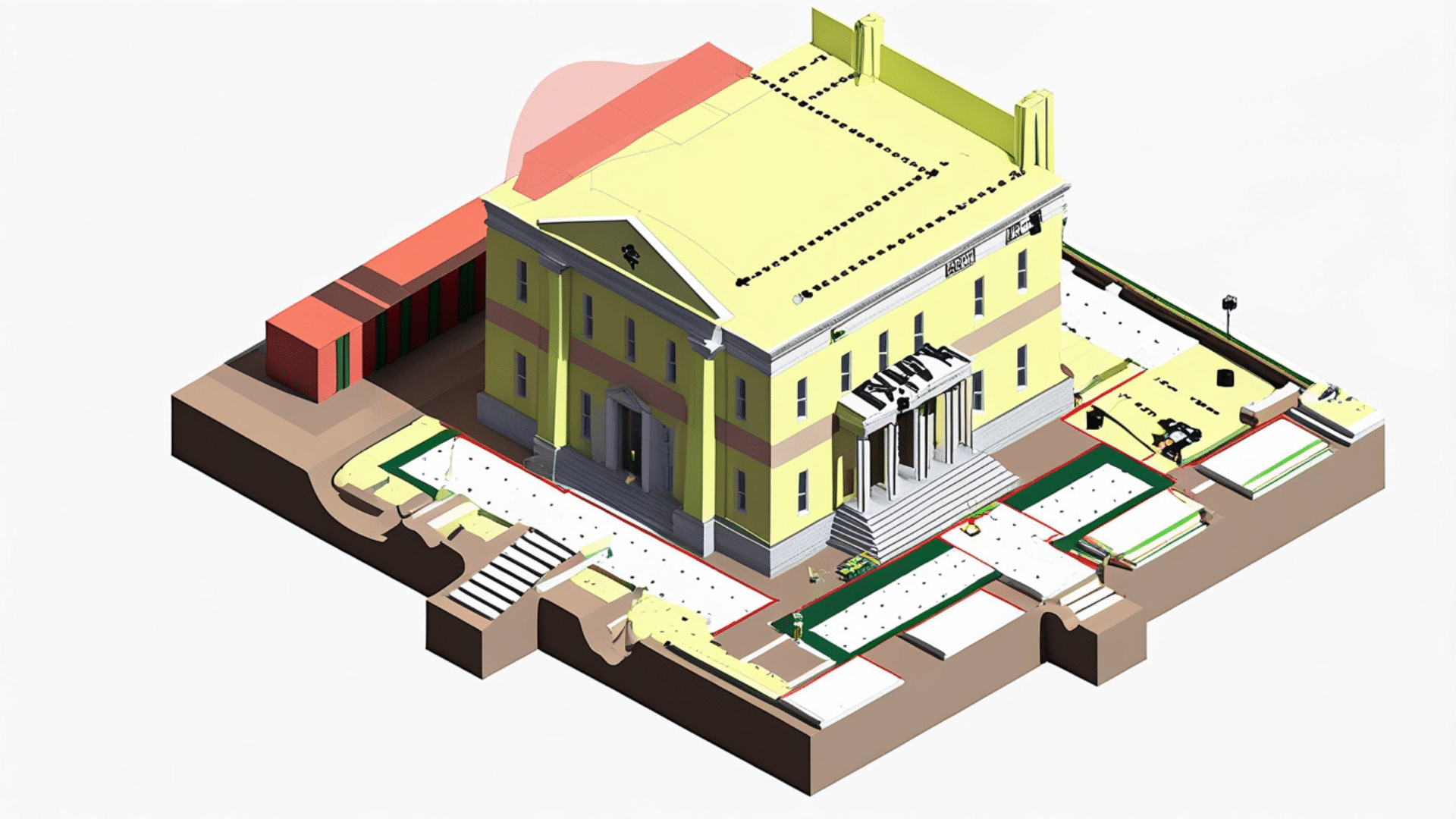
Due to strict confidentiality requirements and security classifications, security-critical facilities require uncompromising control over all information exchange. This methodology automatically manages the flow of sensitive data via a certified, sovereign data platform (CDE) that meets the highest security standards. Strict role- and permission-based management, following the “need-to-know” principle, ensures that project participants and government agencies can view only the data and submodels that are absolutely necessary for their respective planning and implementation.
Building on this secure data foundation, approval processes can be mapped directly within the CDE using customized workflows. From within this protected structure, documents compliant with regulatory requirements—such as space allocation plans or safety certifications—are automatically generated and digitally guided through the review process. Our project experience shows that this workflow-based control significantly shortens coordination cycles with state building authorities and security officers, eliminates transmission errors, and ensures that every single approval step is fully protected and seamlessly logged in an audit-proof manner.
BIM2FM: Structured Data Transfer for Operations
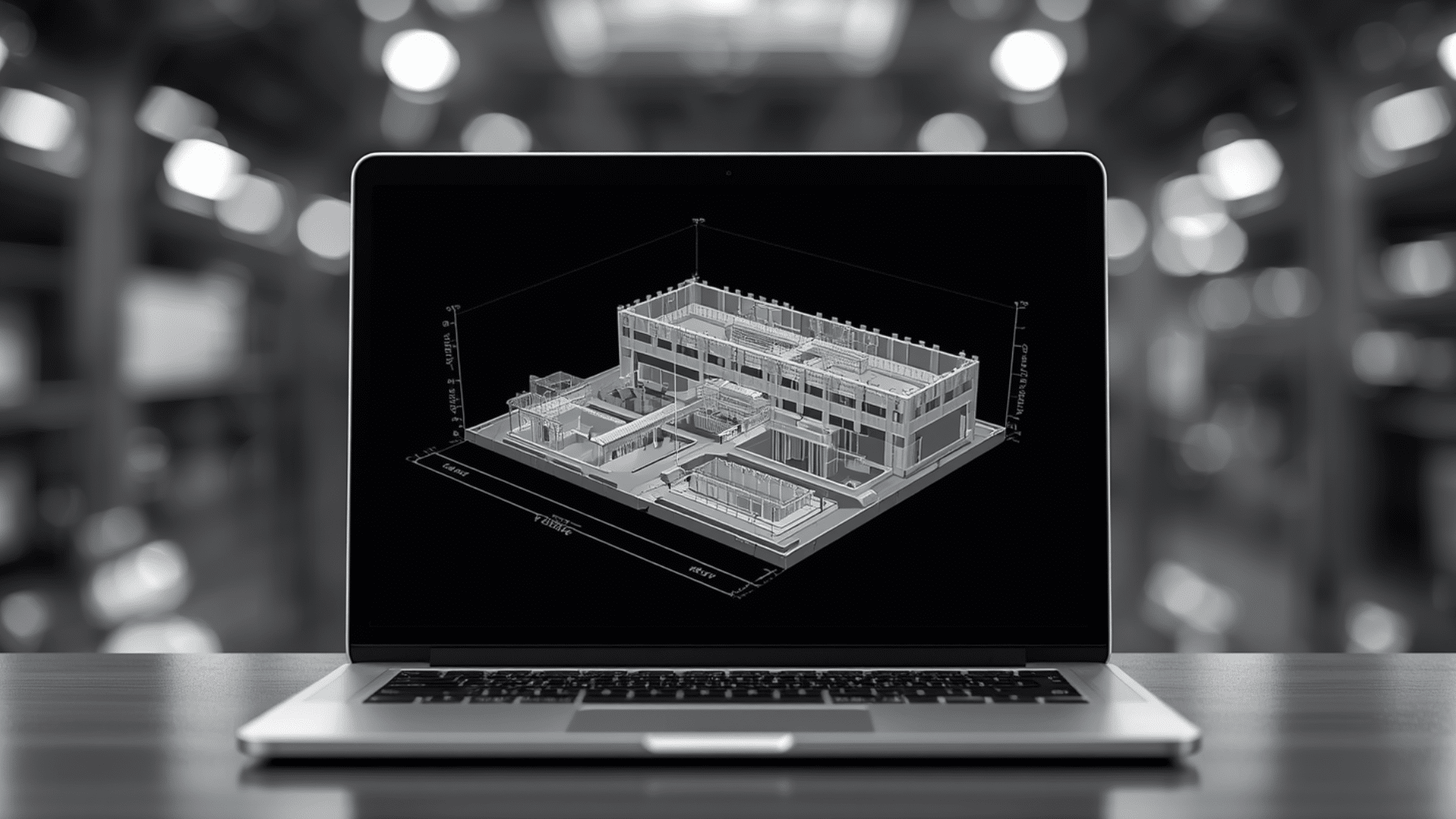
The operation of security-critical properties requires seamless control of highly sensitive building and facility data throughout the entire lifecycle. A consistent model-based handover (BIM2FM) ensures that the information collected in a structured manner during the planning and construction phases is transferred to the operational phase without any loss of data. All operationally relevant and security-critical attributes—such as maintenance cycles, access rights, and technical parameters of critical infrastructure—are directly linked to the digital building components. This secure database is transferred directly into CAFM systems via standardized interfaces without any data discontinuities. This eliminates the security risk associated with manual data entry from analog audit files, and the integrity of sensitive data is maintained throughout the property’s entire lifecycle.
- Highly sensitive facility information remains permanently within a protected structure and is subject to the “need-to-know” principle even during facility management.
- Seamless, encrypted data export to the CAFM infrastructure prevents data loss at this critical interface.
- Technicians can view the location, component parameters, and specific security clearances in the model before entering the secure area.
- Comprehensive documentation of all structural and technical changes throughout the entire service life of the building.
Conclusion
In practice, the modernization of Germany’s security infrastructure often fails due to gaps in analog data and immense security requirements. The consistent application of the BIM method effectively closes this critical gap: Risks are minimized through the entire process—from precise as-built documentation via Scan2BIM and digital hazard mapping to highly complex EMC/TEMPEST coordination and security zone management—all within a security-compliant data environment. The model-based structure consolidates all sensitive parameters in accordance with SIRA and BFR-BIM specifications in an audit-proof manner and transfers them to operations without loss of data (BIM2FM). In this way, BIM transforms security-critical infrastructure construction from an error-prone mammoth task into transparent, secure, and future-proof large-scale projects.
What specific challenges do your properties face in implementing the SIRA requirements and closing the digital inventory data gap?
Let’s find answers together: Feel free to contact us to schedule a one-on-one meeting so we can develop a customized digital strategy for your challenging projects and future-proof your infrastructure.
